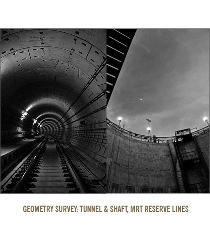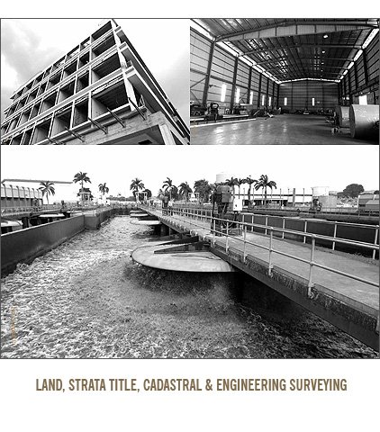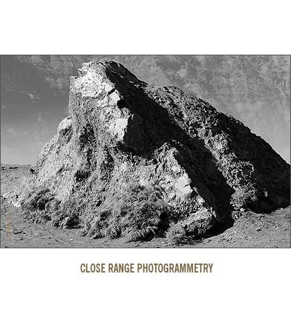


We are a professional land surveying Company that provides wide varieties of 3D laser scanning, land survey, aerial mapping & inspection, photogrammetry and imaging services.
We carry out the measurement and survey adopting various methodologies as well as using the latest equipment to meet the high standard of accuracy.
3D Surveying & Imaging Specialist / Consultant services include:
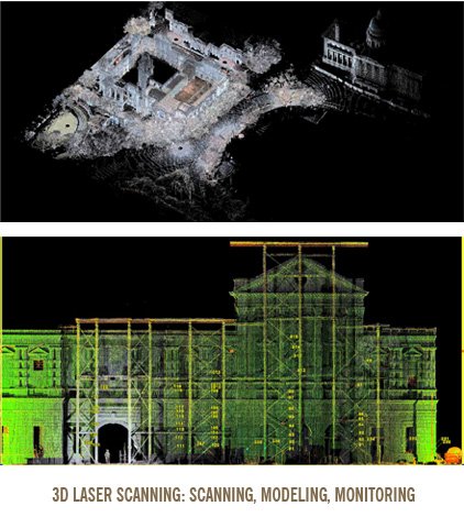
SCAN 3D Terrestrial & Mobile Laser Scanning
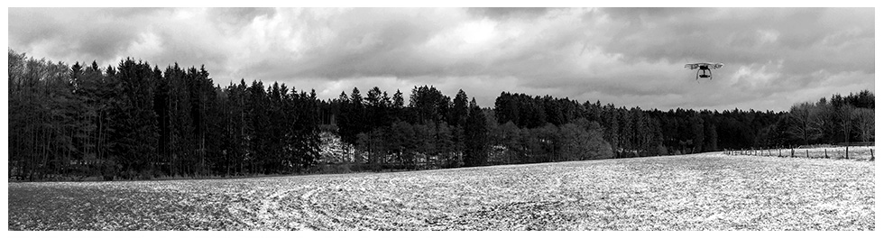
UAS 3D Aerial Mapping, Inspection & Photography
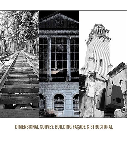
MODEL 3D City, Terrain & Building Modeling
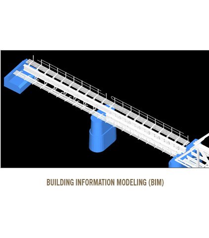
BIM 3D As-Built Building Information Modeling
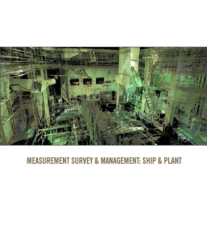
DATA 3D Geospatial Information & Services
IMAGE Large Format Photography (Analog & Digital)