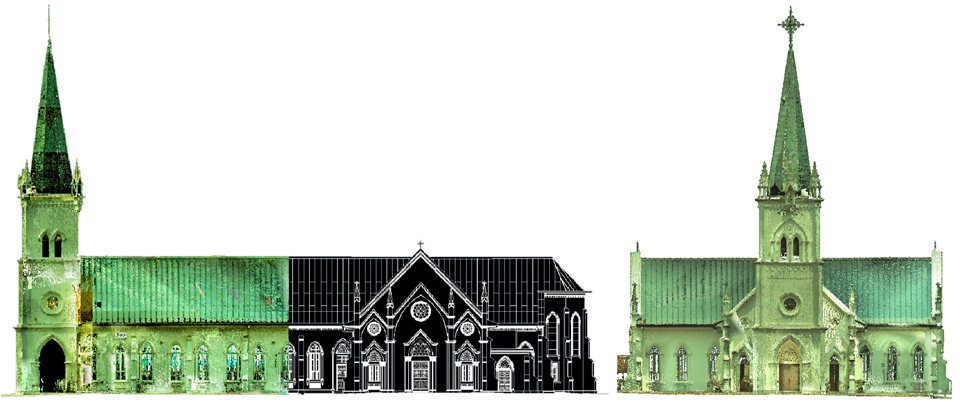
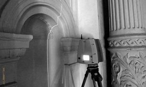
We measure the point cloud.

JTRS Registered Surveyor ("JTRS") is constantly looking for innovative, technological and creative ways to do the modern survey. It aims to constantly source and advance into technology-based method of developing survey output.


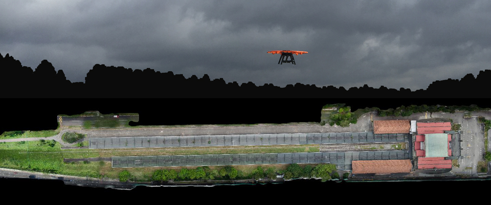
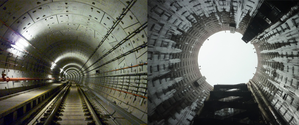
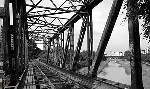
We are a professional land surveying Company that provides wide varieties of 3D laser scanning, land survey, aerial mapping & inspection, photogrammetry and imaging services.

We carry out the measurement and survey adopting various methodologies as well as using the latest equipment to meet the high standard of accuracy.


Rail Bridge Dimensional Survey
This was one of our earlier projects that utilized the 3D Laser Scanner. Ensuring precise measurement of thousand bolts and steel structure made this project unique and challenging.
 
150-year-old Building Dimension Survey
Victoria Theatre and Victoria Concert Hall’s grand makeover began in 2011. The entire building façades were scanned with point cloud by 3D Laser Scanner before restoration work began.
 
Deep Vertical Shaft
Horizontal and Vertical Survey Datum transferring to the bottom of vertical shaft 50 meters deep required precise and strenuous methodology and equipment.